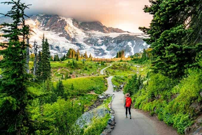
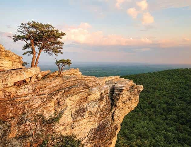
Skyline Drive runs 105 miles along the crest of the Blue Ridge Mountains, capped at a leisurely 35 miles per hour, passing 75 separate overlooks where the Shenandoah Valley unfolds on one side and the rolling Virginia Piedmont stretches out on the other. It’s a strange kind of national park — long, narrow, cut almost in half by a single road — and it exists barely 75 miles from the U.S. Capitol, making it one of the most accessible wilderness escapes for anyone living along the East Coast.
Here’s the practical breakdown for planning a visit: where the park sits, what it costs, the essential facts, and the difficult history behind clearing this land for public use.
Shenandoah National Park Overview
| Category | Details |
| Location | Northern Blue Ridge Mountains, Virginia |
| Nearest towns | Front Royal, Luray, Waynesboro, Elkton |
| Distance from Washington, D.C. | About 75 miles |
| Nearest airport | Washington Dulles International (IAD) |
| Established | Authorized 1926; fully established December 26, 1935 |
| Total area | About 200,000 acres (roughly 313 square miles) |
| Vehicle entrance fee | $30, valid 7 consecutive days |
| Motorcycle fee | $25 |
| Per-person fee (foot/bicycle) | $15 |
| Shenandoah Annual Pass | $55 |
| America the Beautiful Annual Pass | $80 (all U.S. national parks) |
| International visitor surcharge | None — Shenandoah is not among the parks charging a nonresident fee |
| Payment method | Cashless at entrance stations since July 2025 (cards/digital only) |
| Skyline Drive length | 105 miles, four entrances |
| Highest peak | Hawksbill Mountain, 4,051 feet |
| Wilderness designation | Nearly 40% of the park protected as designated wilderness |
| Annual visitation | Around 1.6 to 1.7 million visitors |
Where Shenandoah National Park Is Located
Shenandoah sits in northern Virginia’s Blue Ridge Mountains, close enough to Washington, D.C. that it’s a realistic day trip or weekend escape for much of the mid-Atlantic. The park’s defining feature is its shape: long and narrow, stretching roughly 105 miles from north to south while rarely more than a few miles wide, following the mountain ridgeline the entire way.
Four entrances provide access along Skyline Drive: Front Royal at the northern tip, Thornton Gap and Swift Run Gap in the middle sections, and Rockfish Gap at the southern end, where the road connects to the Blue Ridge Parkway toward the Great Smoky Mountains. Washington Dulles International Airport is the most convenient arrival point for visitors flying in, with Front Royal roughly an hour and a half away by car.
Because the entire park essentially wraps around a single road, planning a visit is fairly straightforward compared to sprawling western parks. Most visitors pick an entrance closest to their route, drive a section of Skyline Drive, and stop at overlooks and trailheads along the way rather than trying to cover the whole length in one trip.
What It Costs to Visit
Entry costs $30 for a private vehicle, covering everyone inside for seven consecutive days. Motorcycles pay $25, and visitors on foot or bicycle pay $15 per person.
Regular visitors typically buy the $55 Shenandoah Annual Pass, while those planning trips to multiple national parks during the year tend to prefer the $80 America the Beautiful Pass, which covers admission to every federal recreation site nationwide.
Unlike Yellowstone, Zion, or several other high-traffic western parks, Shenandoah is not among the eleven parks currently charging the additional $100 surcharge for non-U.S. residents. International visitors pay the same entrance fee as U.S. citizens here, a detail confirmed directly by the National Park Service when the broader nonresident fee policy rolled out in 2026.
One practical note for anyone planning a visit: as of July 2025, Shenandoah’s entrance stations stopped accepting cash entirely. Visitors need a credit or debit card, or can pay online in advance through Recreation.gov, though cash is still accepted at in-park concessions, gift shops, and restaurants.
Facts That Define Shenandoah
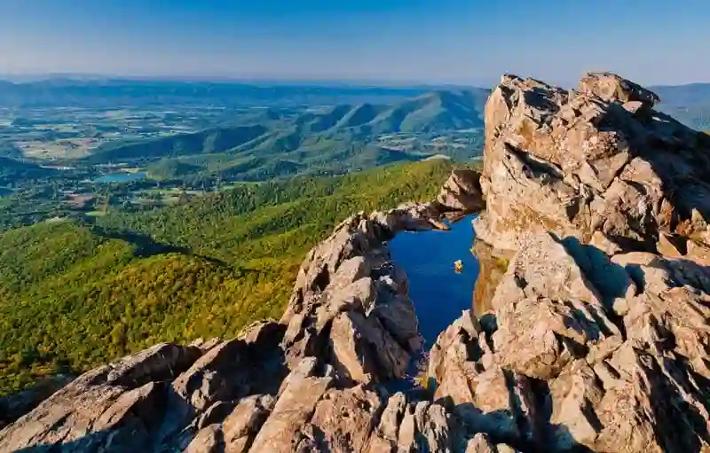
The park’s centerpiece is Skyline Drive, a 105-mile scenic road that traces the crest of the Blue Ridge Mountains and offers views from 75 designated overlooks, alternating between the wide Shenandoah Valley to the west and the Virginia Piedmont’s rolling hills to the east. The road maintains a steady 35 mile-per-hour speed limit throughout, deliberately encouraging slower, more attentive driving through the terrain.
Hawksbill Mountain, the park’s highest point at 4,051 feet, anchors a landscape shaped by some of the oldest exposed rock in North America, with geological formations dating back roughly 470 million years to ancient Appalachian mountain-building events. Nearly 40% of the park, close to 80,000 acres, carries official wilderness designation, protecting it permanently from development under the National Wilderness Preservation System.
More than 500 miles of hiking trails wind through the park, including about 101 miles of the Appalachian Trail, which runs along much of the same ridgeline as Skyline Drive. Wildlife sightings are common and often visible right from the road, with white-tailed deer and black bears frequently spotted near overlooks, though sudden crossings remain a real driving hazard.
The History Behind Shenandoah National Park
The push to create an eastern national park gained momentum in the 1920s, driven partly by a desire to give Appalachian residents and East Coast visitors a wilderness destination comparable to the western parks. President Calvin Coolidge signed the authorizing legislation on May 22, 1926, but turning that authorization into an actual park took nearly a decade, largely because Virginia had to acquire the land privately before transferring it to the federal government, unlike western parks carved from land the government already controlled.
That acquisition process came at a real human cost. Hundreds of families, estimates range from roughly 400 to 500, were displaced from mountain hollows and small communities within the proposed park boundaries, often through eminent domain proceedings that many later characterized as inadequately compensated. This displacement remains a significant and sometimes painful part of the park’s history, one that shaped both the landscape and the communities surrounding it.
The federal government formally accepted title to the land on December 26, 1935, officially establishing the park. President Franklin Roosevelt, an enthusiastic supporter of the project, personally dedicated Shenandoah on July 3, 1936, even though Skyline Drive itself wasn’t fully completed until 1939. Much of the road construction, along with early trail work and landscaping, was carried out by Civilian Conservation Corps crews operating out of six camps established within the park during the Depression era.
Frequently Asked Questions
Q1. Is Skyline Drive open year-round, or does it close in winter?
Sections of Skyline Drive can close temporarily during winter storms due to ice and snow, and some park lodges and campgrounds shut down entirely for the season. Check current road status before a winter trip, since closures can happen with little notice.
Q2. Can I pay the entrance fee with cash if I forgot my card?
No. As of July 2025, Shenandoah’s entrance stations only accept credit or debit cards, or pre-purchased passes through Recreation.gov. Cash still works at in-park restaurants and gift shops, just not at the entrance gates themselves.
Q3. How much of the park can I realistically see in a single day?
Most visitors comfortably cover one section of Skyline Drive, roughly a third of its length, in a single day, including stops at a few overlooks and a moderate hike. Covering the full 105 miles properly usually takes two to three days.
Q4. Are the waterfalls in Shenandoah worth visiting, and when’s the best time to see them?
Yes, trails like Dark Hollow Falls are popular and rewarding. Spring offers the strongest water flow after snowmelt and rain, while summer and fall often bring lower water levels, so plan accordingly if waterfalls are a priority.